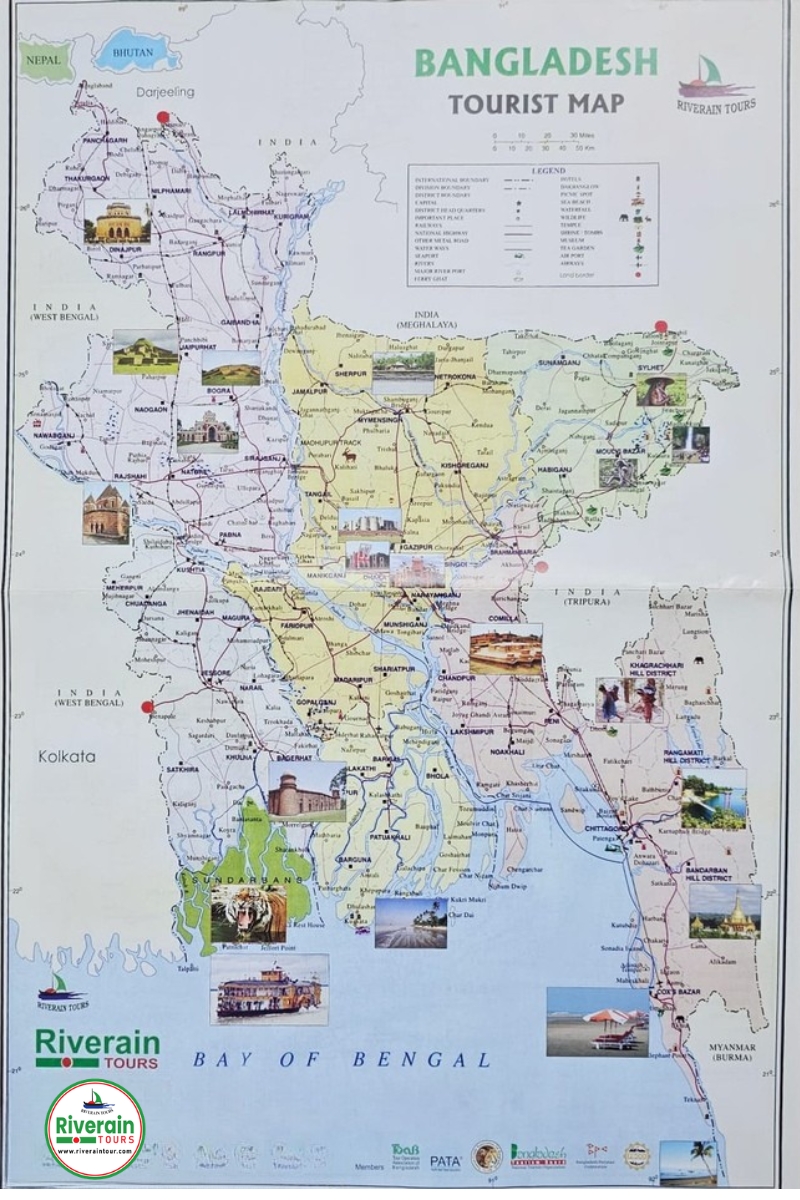
Bangladesh at a glance:
Official Name : The People’s Republic of Bangladesh
Area 1, 47,570 sq. km.
Geographical Location It’s between 23o34’ and 26o38’ north latitude and between 88o41’ and 92o41’ east longitude.
Boundary North: India, West: India, East: India and Myanmar, South: Bay of Bengal
Population Approximately 163 million (Projected in 2016)
Capital Dhaka; Area – 1416 sq. km., Estimated Population – 11.6 million in 2006.
Divisions Eight (08)
Districts Sixty Four (64)
Religion Islam (88.3%), Hinduism (10.5%), Buddhism (0.6%), Christianity (0.3%) – Census 1991.
Unit of Currency Taka
Time GMT + 6.00 hours
Climate Average Winter temp (Max 29oC Min 11oC). Average summer temp (Max 40o C Min 21oC)
Monsoon Rainfall Lowest 340mm, Highest 964 mm
Main Seasons Winter (November – February), Summer (March –June), Monsoon (July – October).
Language Bengali but English is widely used
Principal Crops Rice, Jute, Sugarcane, Potatoes, Tea, Wheat. Vegetables and Bananas
Principal Industries Garments, Jute, Tea, Newsprint, Cement, Sugar, Leather and Fish
Principal Exports Readymade garments, Jute products, Tea, Leather and Frozen food.
Sea Ports Chittagong and Mongla.
Principal Rivers Padma, Meghna, Brahmaputra, Teesta, Surma & Karnaphuli (Total 230 rivers including tributaries)
Airports Dhaka, Chittagong, Jessore, Rajshahi, Sylhet, Cox’s Bazar, Syedpur and Barisal.
Electricity 220 Volts AC
Tourist Season October to March.